About CSF
CSF is a airborne LiDAR filtering method which is based on cloth simulation. It is simply trying to simulate the interactions between the cloth nodes and the corresponding LiDAR points, the locations of the cloth nodes can be determined to generate an approximation of the ground surface. Then, the ground points can be extracted from the LiDAR point cloud by comparing the original LiDAR points and the generated surface. Thus, the filtering algorithm could be called cloth simulation filtering, CSF.

The details can be found at:
W. Zhang, J. Qi, P. Wan, H. Wang, D. Xie, X. Wang, and G. Yan, “An Easy-to-Use Airborne LiDAR Data Filtering Method Based on Cloth Simulation,” Remote Sens., vol. 8, no. 6, p. 501, 2016.
BibTex:
@Article{zhang-csf, AUTHOR = {Zhang, Wuming and Qi, Jianbo and Wan, Peng and Wang, Hongtao and Xie, Donghui and Wang, Xiaoyan and Yan, Guangjian}, TITLE = {An Easy-to-Use Airborne LiDAR Data Filtering Method Based on Cloth Simulation}, JOURNAL = {Remote Sensing}, VOLUME = {8}, YEAR = {2016}, NUMBER = {6}, PAGES = {501}, URL = {http://www.mdpi.com/2072-4292/8/6/501}, ISSN = {2072-4292}, DOI = {10.3390/rs8060501} }
Contact us: wpqjbzwm@126.com
Motivation
Separating point clouds into ground and non-ground measurements is an essential step to generate digital terrain models (DTMs) from airborne LiDAR (light detection and ranging) data. Many filtering algorithms have been developed. However, even state-of-the-art filtering algorithms need to set up a number of complicated parameters carefully to achieve high accuracy.
For the purpose of reducing the parameters users to set, and promoting the filtering algorithms, we present a new filtering method which only needs a few easy-to-set integer and Boolean parameters.
Software
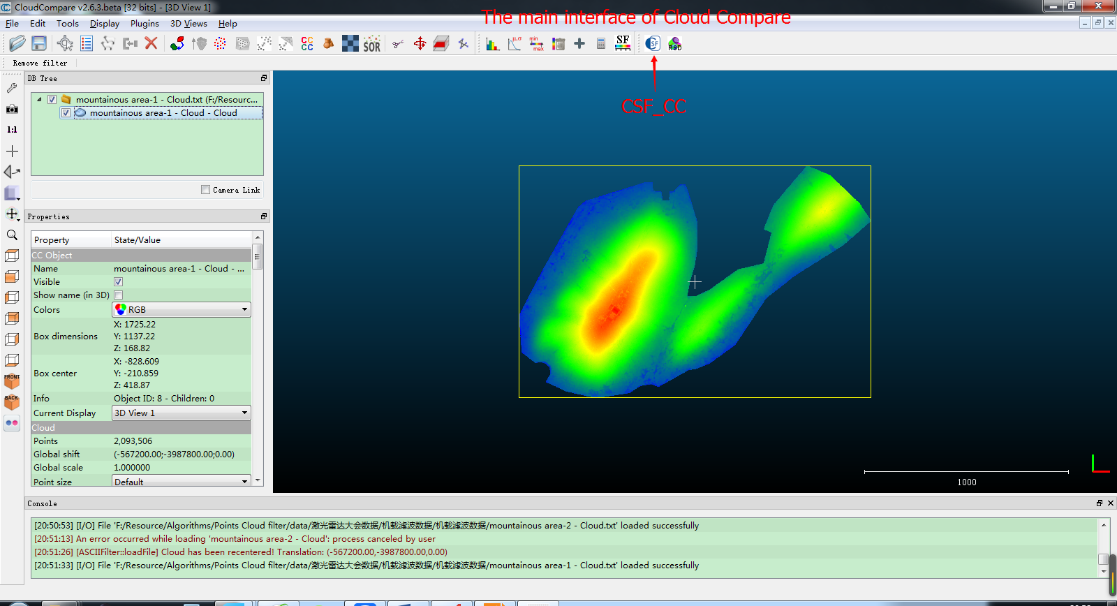
CSF have been integrated into several softwares, such as Point Cloud Magic (PCM). It has heen also implemented as a Cloudcompare (http://www.danielgm.net/cc/) plugin, which makes it easier to use. (https://github.com/cloudcompare/trunk)